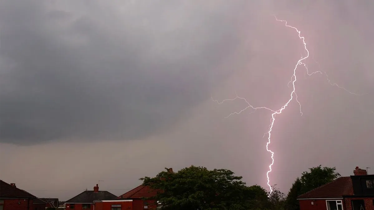
Thunderstorms are set to disrupt the Bank Holiday weekend across 22 counties in the UK, following a period of warm weather. The Met Office has issued warnings as conditions shift dramatically from the recent heatwave.
The cause? A sudden change in atmospheric pressure is leading to instability. As temperatures soared to about 26 degrees Celsius earlier in the week, many enjoyed a taste of summer. But now, that warmth is giving way to heavy showers and possible thunderstorms.
Key forecasts include:
- Thunderstorms expected on May 3, 2026, across parts of England and Wales.
- 22 counties will likely experience these intense weather conditions.
- The Met Office has warned about lightning risks and advised avoiding landlines during storms.
Mark Sidaway, a deputy chief forecaster at the Met Office, noted that it would be a wet start for many areas. He mentioned that lingering clouds and scattered showers should be anticipated as we head into Monday.
While temperatures may feel humid for many, with highs predicted between 17 to 19 degrees Celsius in southern regions, a stark contrast lies ahead. Overnight lows could drop to around 9 to 10 degrees Celsius.
The weather mapping service Ventusky predicts that thunderstorms will hit southern England and Wales around 7 PM on May 3. The situation remains fluid—officials have not ruled out additional warnings as conditions evolve.
With such unpredictable weather on the horizon, how will people adapt their plans for the Bank Holiday? Will they embrace the chaos or seek shelter indoors?
Daniel Fairbrother is the Senior Football Correspondent at Latest News UK, covering the Premier League, the EFL and the England national side with over a decade of reporting experience. He spent eight years on the football desk of a Yorkshire daily before moving into national coverage. He holds a degree in Sports Journalism from the University of Sunderland and completed an NCTJ diploma. Based in Leeds, he watches non-league football and runs a five-a-side league. “The best football stories are won in the week, not on the whistle.”